- Home
- API
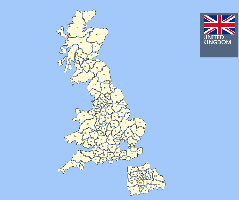
- UK PostCode API
- Geocoding: What it is and How ...

Geocoding is a powerful tool for software developers, architects, product owners, and anyone else who needs to convert addresses or place names into geographic coordinates. In this article, we’ll look at what geocoding is and how it can be used in various applications. We’ll also discuss the importance of using a geocoding service when working with geographic data.
What Is Geocoding?
Geocoding is the process of converting addresses or place names into geographic coordinates such as latitude and longitude.
The most common use for geocoding is to create custom maps that display the location of a business or point of interest on a map. However, geocoding can also be used to find the distance between two locations or determine the location of a device or vehicle.
Geocoded Address API
A geocoding service is a software or website that takes an address or place name as input and returns its corresponding geographic coordinates. This makes it much easier to work with geographic data since you don’t have to manually convert each address or place name into its corresponding coordinates.
In an increasingly geographically dispersed environment, knowing your customer’s exact location for e-Commerce, public, and utility services are paramount to delivering a great customer experience.
Geocodes are the GPS coordinates of a location. A geocode consists of four parts of units. For instance, the postcode PL1 1AR, has a
| Longitude | -4.143138 |
| Latitude | 50.374411 |
| Eastings | 247702 |
| Northings | 0054920 |
Using Geocoding in Application Development
Geocoding is increasingly being used in application development, particularly in location-based services such as mapping apps and location-based search engines.
These applications use geocoding to help users find nearby businesses or points of interest based on their current location. For example, if you were looking for a restaurant near your home, you could use a mapping app with built-in geocoding capabilities to quickly find all nearby restaurants without having to type in your exact address.
APITier’s PostCode API
In conclusion, geocoding is an invaluable tool for anyone who needs to convert addresses or place names into geographic coordinates. With APITier’s PostCode API, it’s easier than ever to work with geographical data and build powerful applications that make use of location-based features like searching by proximity.
Whether you’re building a custom map, finding the distance between two locations, or creating an application that uses location-based search capabilities, having access to reliable geolocation data will be essential for success.